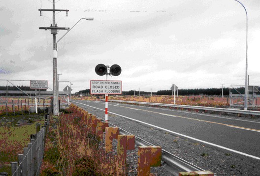
The Ruapehu lahar emergency response plan development process Aerial photo of the upper Whangaehu catchment on Mt Ruapehu showing the location of the bund and ERLAWS sensors. From www.doc.govt.nz/. Figure 8.
| << Previous Photo | 2 / 10 | Next Photo >> |
© 2010 - 中文版